Crich Heritage Partnership
|
||||||
Click on any of the links above to navigate to the page you require The Crich Trail
|
 |
|---|
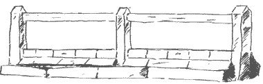
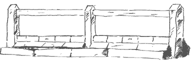
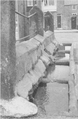
Market Place Troughs |
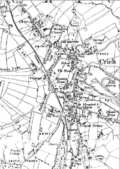
1921 map produced from the www.old-maps.co.uk service with permission of Landmark Information Group Ltd. and Ordnance Survey. Copyright © Landmark Information Group Ltd and Crown Copyright 2001. All rights reserved.
Welcome to Crich. We hope that by following these few notes your visit will be made more interesting and that you will learn a little more about our village. Parking of cars is becoming a universal problem, but you should be able to find space on Bulling Lane or near the centre of the village, which we believe many years ago was a village green, complete with four stone horse troughs which you can still see close to the telephone kiosk. Piped water did not come to Crich until 1906.
The trail is arranged in two loops, each of which will lead you back to the centre. The first loop is a little more than a mile in length and should take about an hour; the second loop however is somewhat shorter.
Click on one of the following links to take you to the relevant page.
Note
This booklet was produced several years ago and commercial premises often come and go. At times this causes a few problems with navigating the Crich Trail but the history and the buildings are still as relevant as ever.